In September I joined some friends on a cruising trip around Mull. I volunteered to be navigator for the final leg to return the boat to Dunstaffnage. We had anchored in Loch Aline the night before, completing our circumnavigation. To return the boat in time we needed to leave two hours before first light to cover the 14 miles to Dunstaffnage. Our passage had some interesting navigational challenges.
Loch Aline
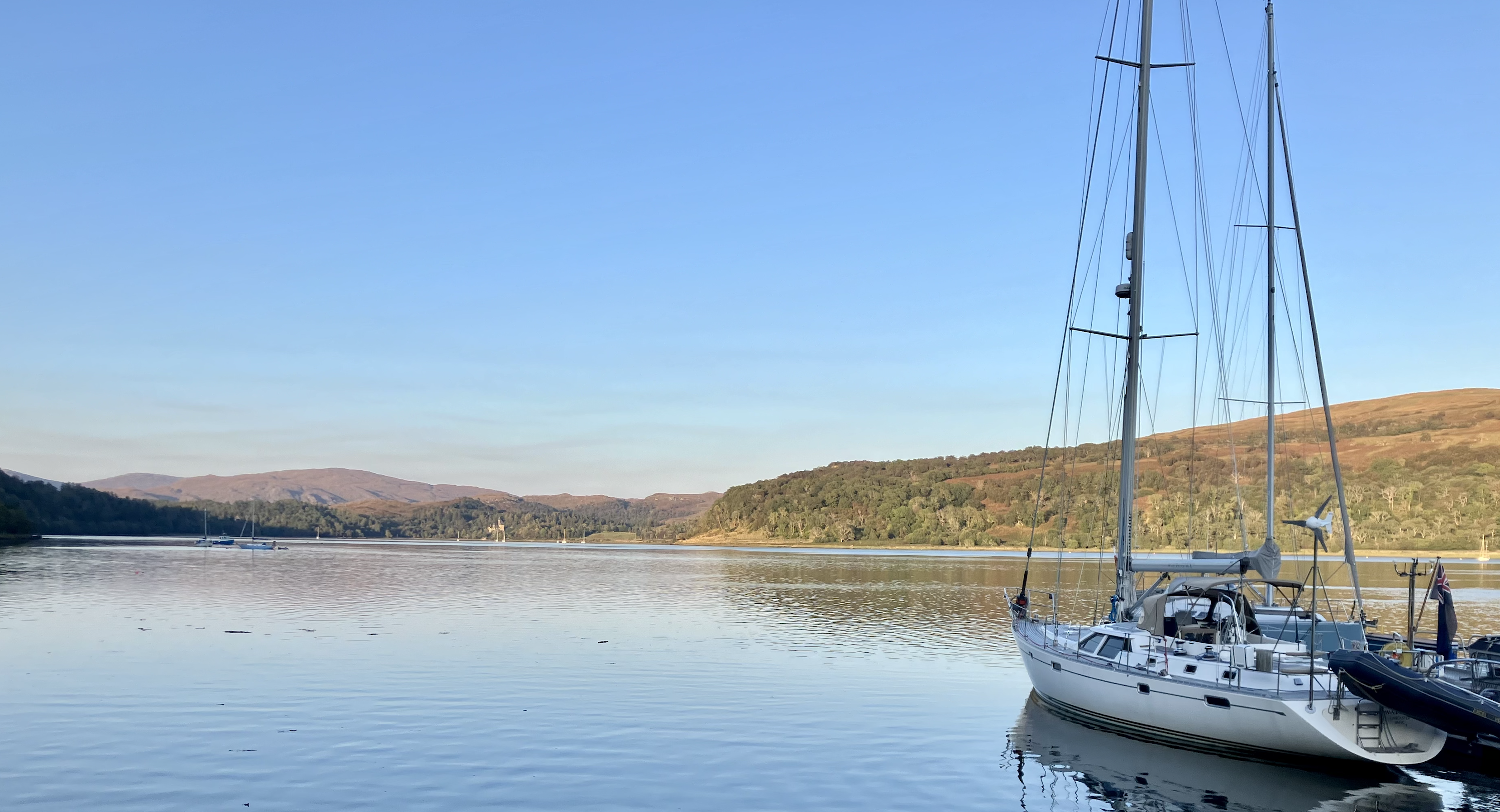
Loch Aline is a sheltered anchorage on the north side of the Sound of Mull and the Yachtsman’s Pilot guide by Martin Lawrence states it is “the best anchorage between Oban and Tobermory”. Local Aline now features pontoon births and shore facilities, including complementary “Devil’s toenails” from the local beach (the loch is well known for these 200 million year old fossilised oyster shells).

Looking north up the loch
Access to the loch is via a channel that is only a cable wide and two metres deep. On this particular evening before departure we were told that the morning’s flood tide would be up to five knots into the loch. Our boat speed under power was ~6.5 knots meaning that it might be hard work to clear the channel. If we waited until later, when the flood had eased, we wouldn’t arrive back into Dunstaffnage on time.
In his book The Complete Day Skipper Tom Cunliffe recounts an old Yankee Schooner Skipper’s saying: “The floor of the ocean is paved with optimists”. I read this after our trip but it made my smile as I recalled Skipper’s apprehension to this particular pilotage challenge. In preparation the night before we discussed contingencies if we were pushed out of the channel by the incoming flood.
Once out of the loch my next navigational task was to bring us safely down the Sound of Mull, southeast and across Loch Linnhe by “shooting the gap” between Lismore lighthouse and Lady’s Rock, before turning Northeast towards Dunstaffnage. I’d plotted a course to use coastal navigation, and for the night-time section I was intending to use the numerous buoys and lights which form the principal navigation marks down the sound.
Setting Sail
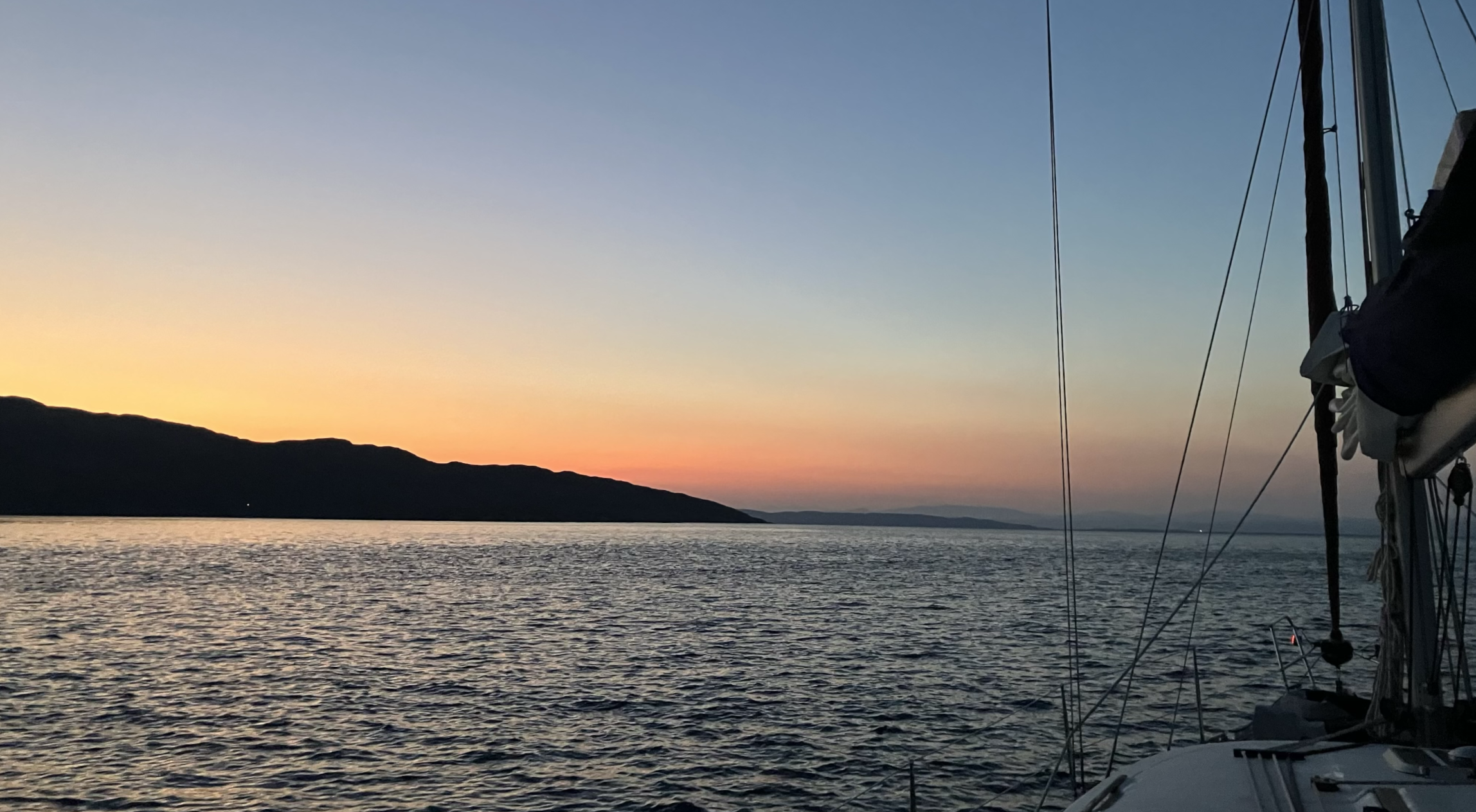
I was first on deck at 0500 and worked under the glow of my red head torch to prepare for departure. We slipped our lines at 0544 under engine and made for the channel which was clearly lit by port and starboard markers. With the engine working hard we progressed up the channel. We slowed to 1.5 knots over ground but had two metres under the keel through the worst of it. Our concern was being pushed against the shallows on either side.
In the end we made it past the ferry terminal into the sound, and our only mishap was a glitchy stern steaming light circuit, prompting Skipper (who was on the helm at the time) to request with some urgency that we “get another flipping light out the back now”. A not unreasonable request as we were traveling in convoy with some friends aboard another, bigger yacht, who was following astern. I managed to jerry-rig my head torch onto the dinghy outboard which was conveniently clamped onto the stern rail. The first mate disappeared below and worked some electrician’s magic with the circuit and soon normal service was restored.
Where’s the Rock?
We passed out of the channel without further mishap and turned southeast down the sound. There was very little wind so it would be a motor cruise only. It was a clear but fresh morning with good visibility. One of my main waypoints was the Ardtonish sector light. When it switched from white to red I knew we were directly abeam the point and on course. From here we steamed for the Lismore lighthouse, easily identifiable by is dependable flash in the distance. We skirted around the north cardinal and then past Glais Eileanan light, which resembles a Tardis perched atop a shoal. At this point I expected to see the Lady’s Rock light a couple of points off the starboard bow. We were aiming for a gap 1/2 a mile wide and to see the light would give me the confidence that we were on the correct course to head between the two. But, as I discovered later, I hadn’t done my homework correctly.
The sky was starting to lighten and we could clearly see the Lismore lighthouse off the bow, but not the Lady’s rock light. Here’s Tom Cunliffe again: “never force the facts to fit into some preconception of where you might be…Do not under any circumstances, reassure yourself in the following manner ‘Oh, I suppose they’ve moved that buoy for some reason…’”. I had expected to see the light and had included it as part of my navigation plan. Skipper and I commented to each other that it was odd we couldn’t see it. In this instance our location and navigational safety was easily and quickly confirmed using GPS. The inset chart below shows the gap between Lismore lighthouse and Lady’s Rock and the light characteristics of both.
Open Sea Map showing Lismore lighthouse and Lady's RockDetails Matter
The explanation was simple, Lady’s Rock light is 12 metres high with a range of five nautical miles. By comparison Lismore is 31 metres high and has a 17 nautical mile range. We were simply too far away to see it and by the time we were in range it was dawn and the light had switched off. This fact was confirmed after our trip by the Northern Lighthouse Board who were obliging enough to reply to my query and confirm that the light was operational. After sharing our navigation log and timings they agreed that we were likely out of range before the light turned off at first light.
In the end we reached our destination safely and on-time. Loch Aline is an excellent sheltered anchorage and one I’m sure to use again - although I’ll be keeping an eye on the tide times and the details of the lights along the way.
